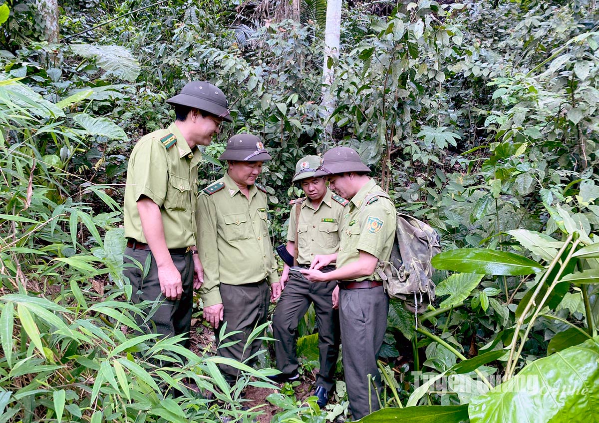
Officers of the Cham Chu Forest Ranger District (Ham Yen) check forest changes on map management software on smartphones (FRMS Mobile).
Forest rangers in the province are actively using software to manage and protect forests such as Locus Map, FRMS 4.0 Desktop, remote sensing equipment to support many features such as measurement, support for field inspection location, management of forest lot number, forest status, forest owner name, type of crop, year of planting, reserve, etc.
From there, it helps forest rangers detect and warn early on unusual changes and accurately update fluctuations in forest resources.
In addition, the province has invested in software for forest rangers to detect suspected forest fires early and has been applied in the province since January 2024 and has been effective.
Suspected forest fires are alerted to the smartphone of the forest ranger in charge of the commune, so the burning and treatment of people's planted vegetation is also strictly managed.
With the applied software, it has been helping forest rangers to strictly control their work, with no gaps in forest management and protection in the area, ensuring that forest coverage reaches 65%.

Comment
Print