
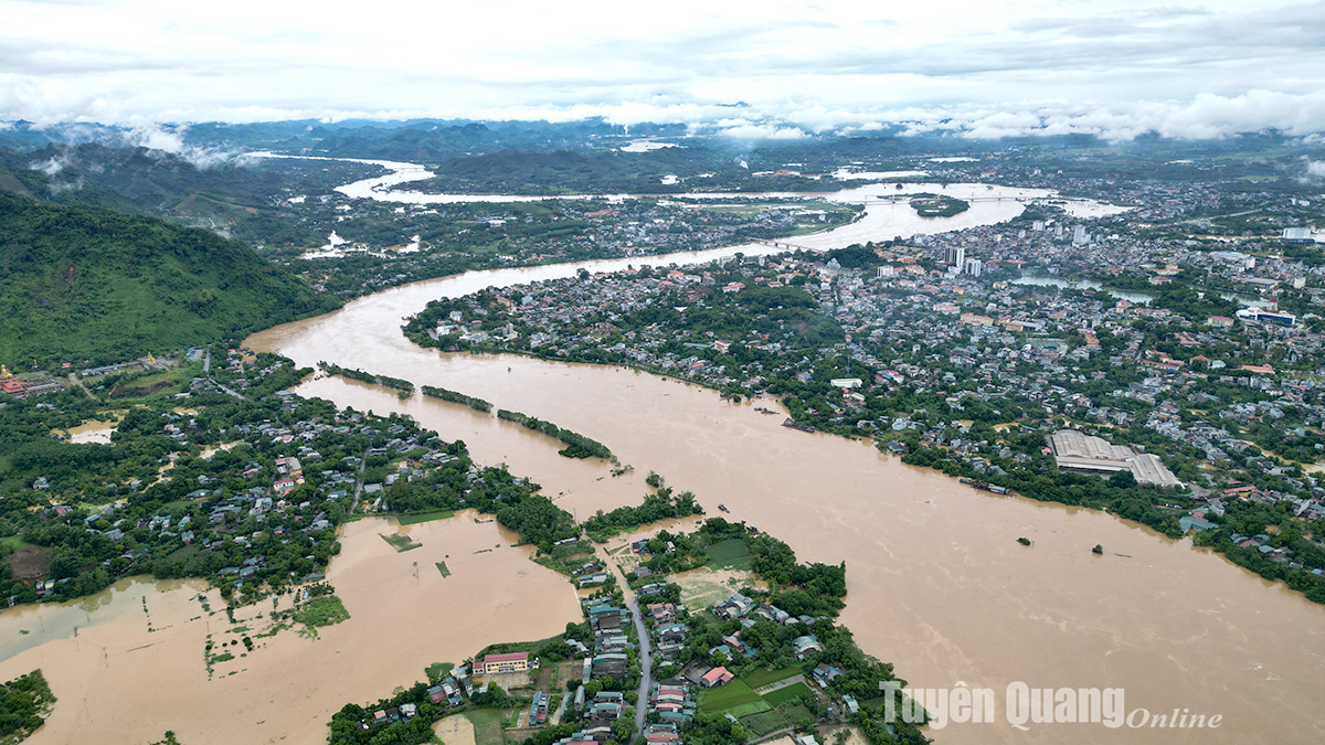
The Lo River rose to nearly 27m, many areas of the city were severely flooded.
.jpg)
The school area and the Trang Da commune committee were flooded, vehicles could not circulate.
.jpg)
The Lo River water seeped into low-lying areas and residential areas.
High water, heavy clouds in the La mountain range, indicating that rain is still coming.
.jpg)
High water in the Tan Ha bridge area, Soi Sinh, Hong Luong.
.jpg)
North of the city, the Lo River water has flooded Tan Long commune (Yen Son).
.jpg)
Water flooded the Nguyen Tat Thanh Square area.
.jpg)
Xuan Hoa area and the other side of Dum mountain (Nong Tien).
.jpg)
Tuyen Quang city intersection and Y La field, Kim Phu.
.jpg)
The Lo River in Tan Ha ward rose, many households were flooded.
.jpg)
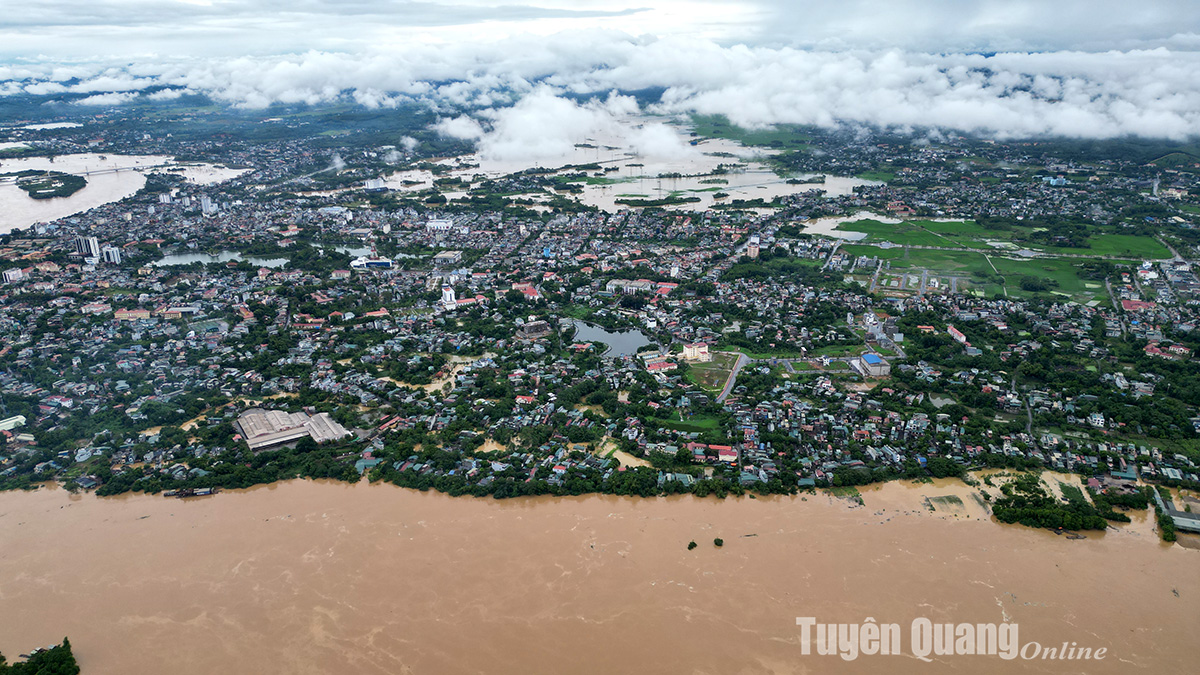
The scene of the Lo River flood in the city, Tinh Huc was heavily damaged.
Comment
Print