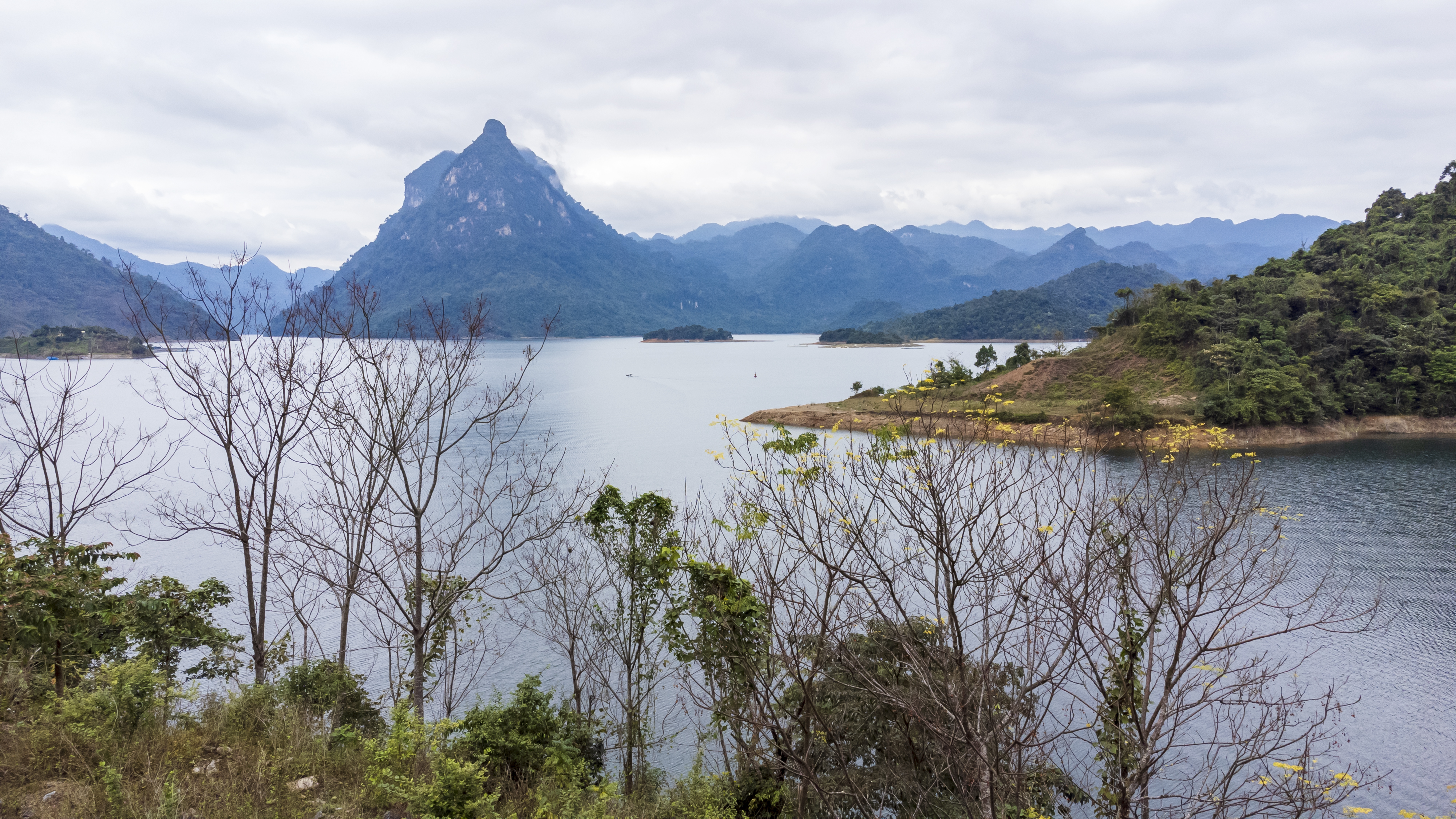
Looking at the map, Khau Tinh commune looks like a peninsula surrounded by water. On the left side is the Gam River flowing down the lake bed from Ha Giang. On the right side is the Nang River flowing from Bac Kan to the confluence at the foot of Pac Ta Mountain. In the northern peninsula of the commune, only part of the land is bordered by Con Lon and Yen Hoa communes. Compared to other communes in the region, Khau Tinh commune has more mountains, with a natural area of 8,373 hectares.

Pac Ta Mountain of Khau Tinh Commune.
Local people in Khau Tinh live from an altitude of 400 to 800 meters above sea level. The climate is cool all year round, suitable for off-season vegetables and cold-loving plants. That is why Tat Ke Nature Reserve (Khau Tinh) - Ban Bung (Thanh Tuong) stretching across many communes was formed. It was later recognized as Na Hang-Lam Binh Nature Reserve - a special national scenic spot.
The primary forest treasure of Khau Tinh is a population of thousand-year-old '' trees (Excentrodendron tonkinense) with diverse flora and fauna. Products from the forest include forest honey, bamboo shoots, mushrooms, Jiaogulan, ginseng areca, and herhe, etc.
Currently, three main ethnic groups living in Khau Tinh include Mong 50%, Tay 34%, Dao 15%, other ethnic groups 1%. The commune has 374 households with 1,743 people living in 4 villages of Tat Ke, Khau Tinh, Na Lung, Khau Phieng. Preserving the forest and keeping their cultural identities such as architecture, customs, practices, costumes, voices, cuisine, and musical instruments is well done by Khau Tinh people.
The tourism potential of Khau Tinh Commune is huge. The "awakening" of Khau Tinh - a "peninsula of tourism" requires high determination, creative and scientific ways of the Party committee, government and local people.

Comment
Print